Motivation
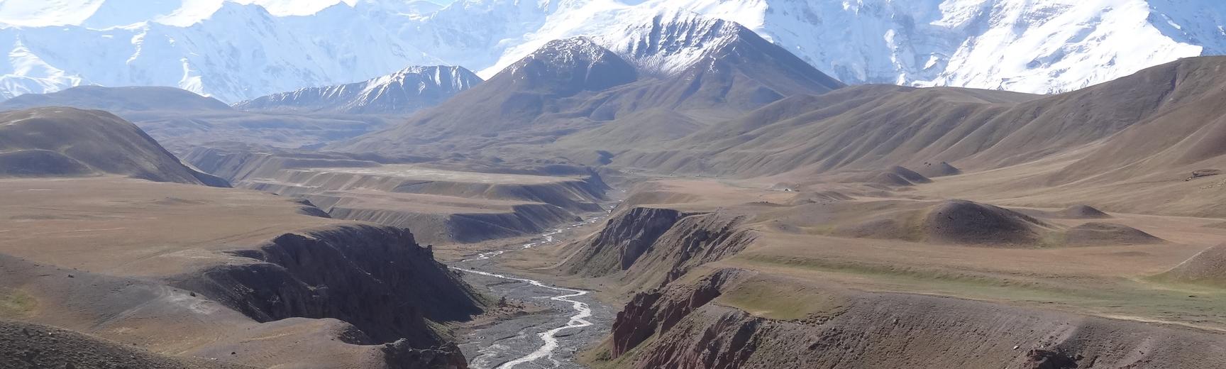
In an era of rapid environmental change and infrastructure development, the effective assessment and mitigation of geohazards is critical for safeguarding lives, investments, and sustainable development. This proposed PhD project aims to assess risks from active faults (e.g. Vashkh fault of Tajikistan, Talas-Fergana fault of Kyrgyzstan), and landslide geohazards in the Tian Shan-Pamir Transnational Transport Corridor. The project will integrate results from remote sensing analysis into both qualitative and quantitative multi-hazard risk assessments.
Vital transnational transportation networks are planned for the Tian Shan-Pamir region such as the Belt and Road Initiative, and substantial hydropower infrastructure already exists (e.g., Toktogul, Kyrgyzstan) or is under construction (e.g., Rogun, Tajikistan). The occurrence of multiple, often compounding, geohazards in this region can undermine critical infrastructure development and its long-term viability. By enhancing our understanding of these geohazards, this research will contribute to the safety and resilience of such projects, benefitting both local communities and international stakeholders.
Methods and Training
At its core, this project will leverage a range of novel remote-sensing workflows, building on the supervisory team’s expertise. These will include visual inspection of high-resolution optical satellite data, and the generation and analysis of high-quality digital elevation models for the identification of potential geohazards. In addition, we will employ cutting-edge methodologies such as InSAR (Interferometric Synthetic Aperture Radar) and optical feature tracking with satellite imagery to assess these hazards. This comprehensive approach will enable us to identify the presence of active faults and landslides and monitor their dynamic changes through time, including factors like fault slip accumulation, creep, and the gradual deformation of landslides.
CASE partnership
The workflows and methodologies developed through this research will be adaptable and applicable between regions and across spatial scales, benefiting risk assessment processes within the insurance sector. The student will benefit from interaction with CASE partners in the WTW Research Network, both in wider project supervision, and in exploring applications of the research in risk modelling.
Conclusion
Ultimately, this research seeks to contribute new tools and insights for more effective geohazard risk assessments in regions like the Tian Shan-Pamir area, supporting more informed disaster reduction decision-making, policy underwriting, and infrastructure investment strategies.